
GARDEN ROUTE | KAROO NEWS - Extremely high fire danger conditions are expected over the Central Karoo district, Kannaland, and Oudtshoorn municipalities today, according to the South African Weather Service.
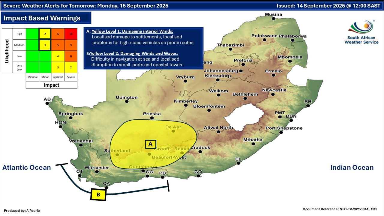
Impact based warnings
A yellow level 1 warning has been issued for damaging winds leading to risk of localised runaway fires, localised damage to settlements (formal and informal) and to increased travel times and localised problems for high sided vehicles on prone roads.
On top of this a yellow level 2 warning has been issued for damaging wind and waves leading to difficulty in navigation at sea are expected between Cape Point and Cape Agulhas from the afternoon, spreading to Plettenberg Bay by the evening until Tuesday.
Regional weather forecast
Western Cape
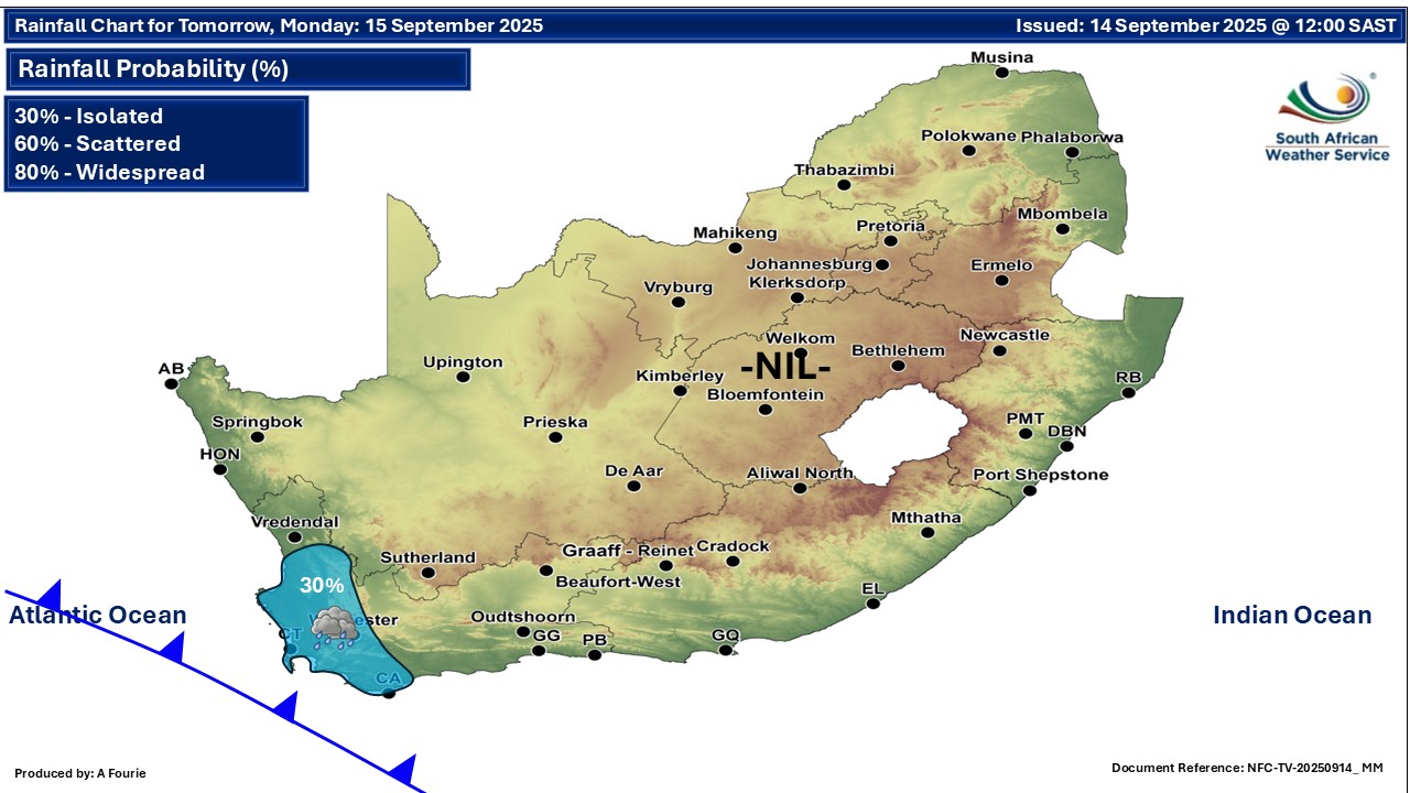
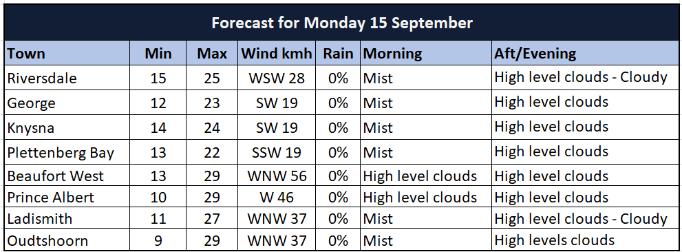
Morning fog patches along the coast and adjacent interior, otherwise cloudy to partly cloudy and cool but warm over the Central Karoo where it will be windy. Light rain is expected over the south-western parts. The wind along the coast will be fresh to strong westerly to north-westerly, reaching gale force between Cape Point and Cape Agulhas, spreading to Plettenberg Bay in the evening.
The expected UVB sunburn index: Moderate
Western half of the Eastern Cape
Fine, windy and warm to hot. The wind along the coast will be light and variable, becoming
fresh to strong south-westerly in the afternoon, but north-westerly in the evening.
Eastern half of the Eastern Cape
Fine, windy and warm, but hot in places along the coast. The wind along the coast will be moderate north-easterly, becoming fresh south-westerly by the evening.
Extended forecast:
‘We bring you the latest Garden Route, Hessequa, Karoo news’